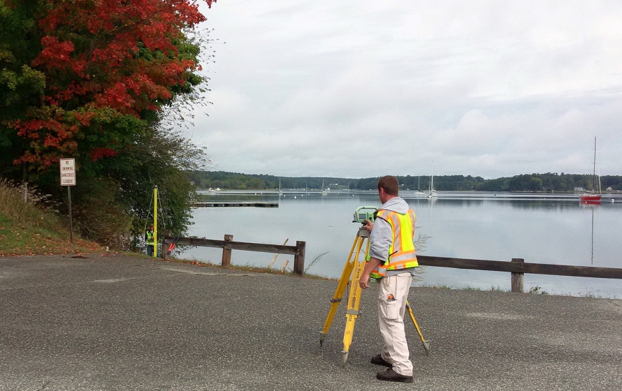
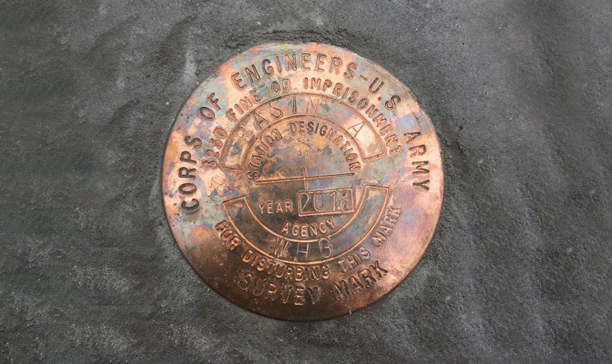
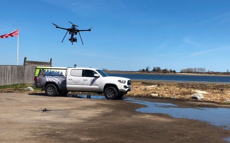
Bryant is providing surveying, mapping and geospatial services at various locations in the Army Corps of Engineers New England District and/or North Atlantic Division on a task order basis. For this task, Bryant collected NOAA compliant water level data and set 5 permanent NOAA/Corps benchmarks for a dredging project to allow ships to navigate through a turning basin at Dover Point, in support of the establishment of a long term tidal station. Project was part of a Comprehensive Evaluation of Project Datums (CEPD) Program.
IDIQ General Survey, Mapping & Geospatial: Portsmouth Harbor and Piscataqua River, Portsmouth, NH
United States Army Corps of Engineers | Various Locations, New England District (NAD)


